 vesseltracker.com
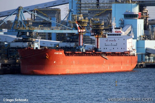
Vessel MAGIC MARS IMO: 9691400, MMSI: 538009627 Bulk Carrier
UTC, 25.15132, -49.75653, course: 57, speed: 11.9
UTC, 25.42808, -49.28068, course: 58, speed: 11.9
2026-02-21 21:31:21 UTC, 25.56640, -49.01633, course: 60, speed: 12.3
Live AIS position:
UTC. 338 nm NW of Upper Northfield),
updated 2026-02-21 21:31:21 UTC.
Find the position of the vessel MAGIC MARS on the map. The latter are known coordinates and path.
marine traffic ship tracker show on live map
The current position of vessel MAGIC MARS is 25.56640 lat / -49.01633 lng. Updated: 2026-02-21 21:31:21 UTCCurrently sailing under the flag of Marshall Islands
MAGIC MARS built in 2014 year
Deadweight:
76822 tDetails:
Last coordinates of the vessel:
UTC, 24.75301, -50.43908, course: 54, speed: 12.1UTC, 25.15132, -49.75653, course: 57, speed: 11.9
UTC, 25.42808, -49.28068, course: 58, speed: 11.9
2026-02-21 21:31:21 UTC, 25.56640, -49.01633, course: 60, speed: 12.3